


![]()
Who Uses Us
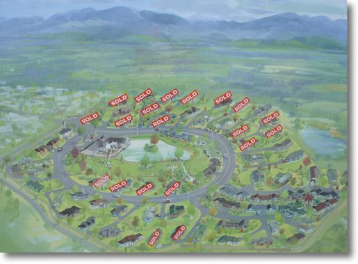
Lawson Avery

Our core focus at Lawson Avery is to provide accurate and timely advice to enable our clients to make the best decisions. To do this we provide a large number of services.
WCM Legal

WCM Legal is a full service law firm providing advice in all areas of the law to individuals and businesses in the lower North Island of New Zealand and beyond.
The experienced land development professionals at Tomlinson & Carruthers will manage your land development project from initial concept through to the issue of new titles, advising and consulting with all relevant parties to ensure a successful development.
Our team follows a quality assured project management system to ensure the client's expectations are exceeded. All projects involve the following four phases:
- Project Feasibility;
- Project Planning ;
- Project Implementation;
- Project Completion .
As each project is unique, we work with the client to ensure all risks are accurately predicted and averted with greater confidence. In order to maintain the achieving of objectives we apply a dynamic management style to work around potential and unforeseen risks so that deadlines and budgets are achieved.
For a more detailed description of the process we follow in land development projects we hope you find the flow chart below useful.
The Land Development Process
Project Feasibility
The first step in the process to subdivide or develop land is to determine whether the revenue gained from the sale of the developed land sufficiently exceeds the cost of developing it. Each project is unique and brings with it a different set of issues. Tomlinson & Carruthers will research your project and advise on whether it is feasible.
Based on the type of project, the information we typically gather includes:
Legal descriptions and restrictions;
Infrastructure demands;
Topographical dimensions;
Proposed subdivision dimensions; and
Engineering requirements.
Images
Project Planning
After establishing that a project is feasible, certain consents need to be obtained from the relevant territorial authority depending on the type of development.
The team at Tomlinson & Carruthers will prepare a scheme plan showing site topography, proposed allotment boundaries including any proposed infrastructure and reserves if applicable, abutting parcels, new and existing easements and any other relevant information. In order to prepare a scheme plan our team often performs a topographical survey of the site.
The scheme plan is an integral part of a detailed consent application, which addresses the subdivision and land use requirements in the Council's District Plan. Our team often presents this information in the form of an environmental impact assessment which addresses resource management issues including mitigation of any environmental effects.
In some instances, mainly where water and soil quality are involved, consent may also be required from the relevant Regional Council. The applicant pays the Council consent fees at the time the application is lodged, and the actual fees or an indication of their cost will be provided to you as part of our quotation.
The Resource Management Act 1991 states that the relevant territorial authority has 20 working days to process non-notified resource consent applications. The territorial authority also has the right to publicly notify an application under certain circumstances where a public hearing may be held. We will discuss the likelihood of your project being notified with you as part of the feasibility study.
For a detailed description of the resource consents process we have provided an easy to follow flowchart here.
Images
Subdivision/Resource Consent
Consent is usually approved subject to specific conditions and the applicant has 15 working days in which to appeal any condition that is considered to be unreasonable. Typical subdivision conditions may include:
Payment of reserve contribution;
Tree preservation order;
Building height restriction, building style or building removal;
Payment of services upgrade fee;
Provision of infrastructure related services;
Provision of access to land.
Consents lapse after a period of two years if the details of the consent have not been implemented. The applicant can, however, apply for an extension to the time period if necessary.
Images
Plan Implementation