Registered Surveyors & Land Development Consultants
Based in Masterton. Surveying Wairarapa and beyond


Tomlinson & Carruthers Surveyors assist with a wide range of land developments across Wairarapa and Wellington


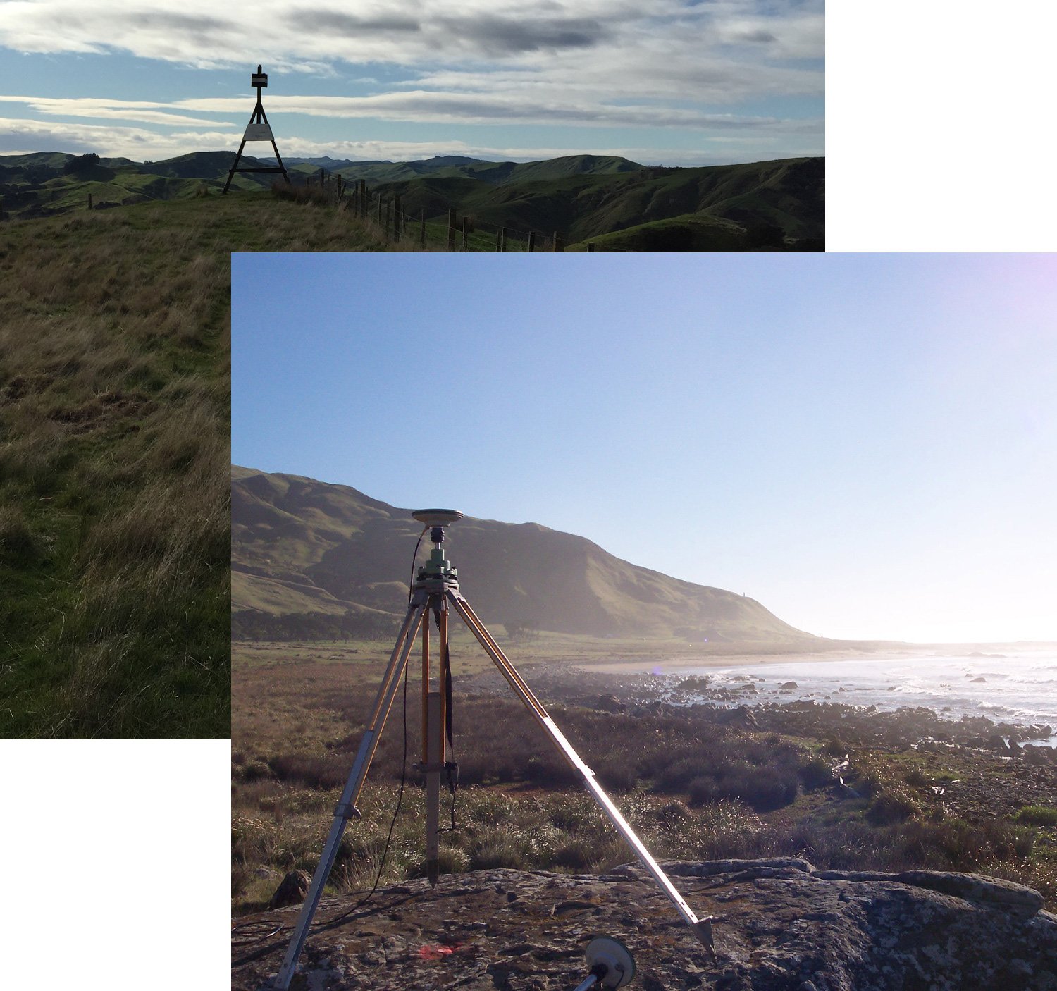
The team at Tomlinson & Carruthers Surveyors are trusted land surveyors with over 80 years of experience, serving Masterton and the lower North Island.

Our land surveying services include accurate and detailed surveys, using cutting-edge drone technology for large-scale projects and expert planning assistance to ensure your project runs smoothly from initial plans to final handover.


Subdivision and Land Development

At Tomlinson & Carruthers Surveyors, we specialise in comprehensive subdivision and land development surveying. Our expertise spans urban and rural projects, from small boundary adjustments to large-scale developments.


Planning

Our survey planning services ensure your project aligns with resource consent and environmental regulations as well as meeting your expectations. Our expert team will ensure your project gets off to a sound start.


Drone Surveys

Drone surveying and mapping offers an efficient and cost-effective solution to surveying large areas or difficult terrain. We deliver enhanced topographic mapping, offering detailed 3D data crucial for architects and engineers.


SEND US A MESSAGE

Fill out the form below and we will contact you within 24 hours

What Our Clients Say

Why Choose Tomlinson & Carruthers Surveyors


Comprehensive land survey solutions


Accurate and detailed surveys


Expert consent applications


Tailored services

Registered Surveyors & Land Development Consultants | Based in Masterton, Surveying Wairarapa and beyond